GRAVE MAPPING
Navigation Solutions
Online mapping tools made for cemeteries
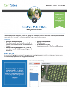
The Grave Mapping add-on works with Secure CRM to allow cemeteries to plot and display the location of graves within an intuitive interface. With our Walk-to-Site mobile navigation, visitors and new staff members can quickly find graves without assistance or explore cemeteries at ground-level right from their computers.
Enjoy the Power of Digital Cemetery Mapping
Mapping features
Grave Mapping offers multi-plot cemetery mapping, record and website synchronization. Use our built-in auditing features and instant search results with color-coded location status to sell graves in seconds. It is easy to integrate with an existing website platform and works well for cemeteries with multiple locations.
Mobile navigation
By using Walk-to-Site mobile navigation, finding graves is now not only visual, but also interactive! Just use a tablet or smartphone to walk straight to a specific grave — no app needed.
DASHBOARD

Search data and sync records with grave locations. View and sell available plots right from the map!
WALK-TO-SITE

Navigate to a specific gravesite with any GPS-enabled device.
CEMVISION360

Give virtual tours and allow the community to explore the grounds without going outdoors.


